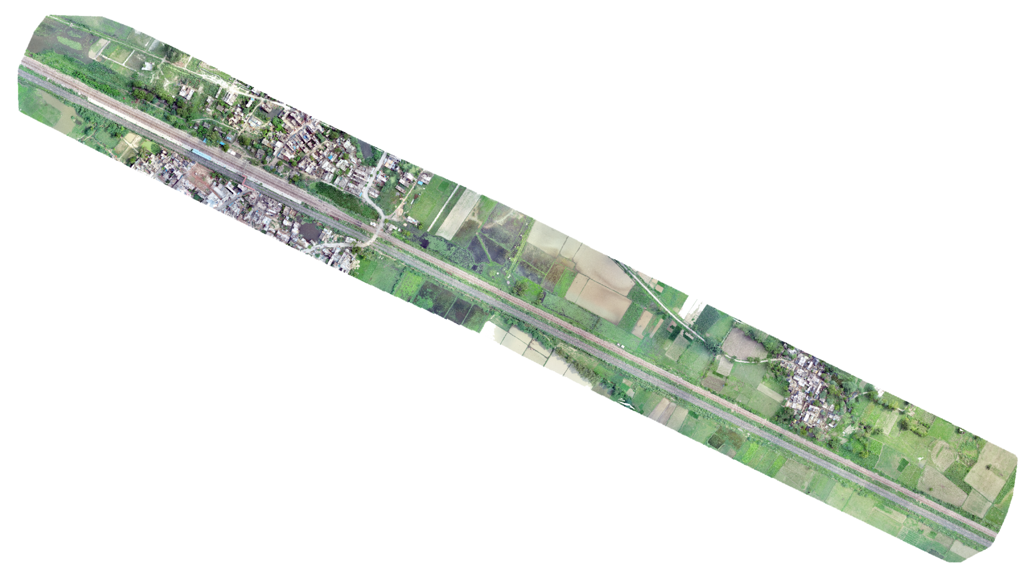
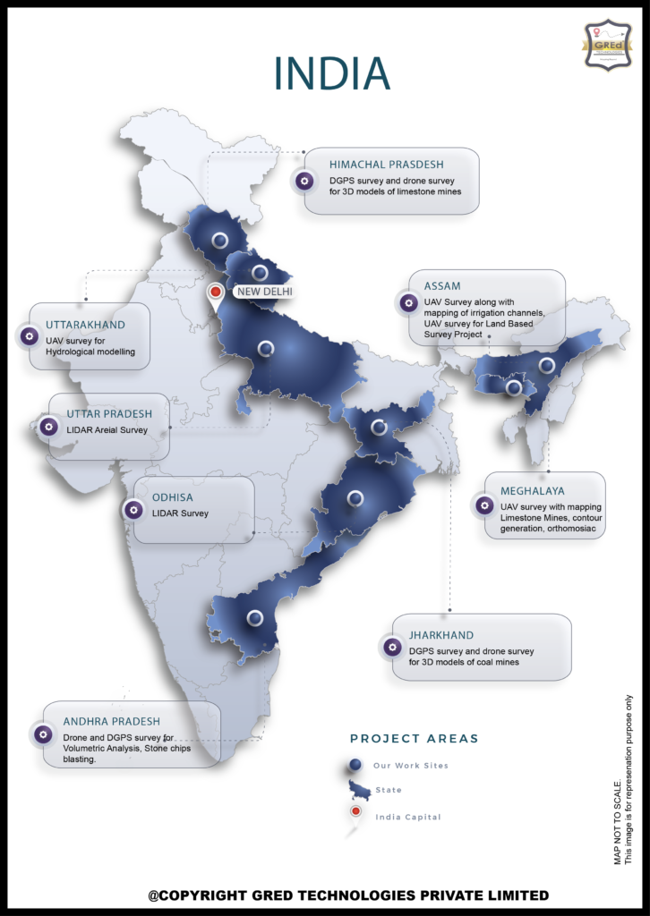
As a leading surveying and mapping company in India, we GRED TECHNOLOGIES PRIVATE LIMITED have had the privilege of working on a wide range of notable projects across the country. From UAV surveys and DGPS surveys to LIDAR surveys, our team has leveraged the latest technologies to capture and analyze the unique geographies of diverse regions, making valuable contributions to infrastructure development, resource management, and environmental
monitoring.
Our Services
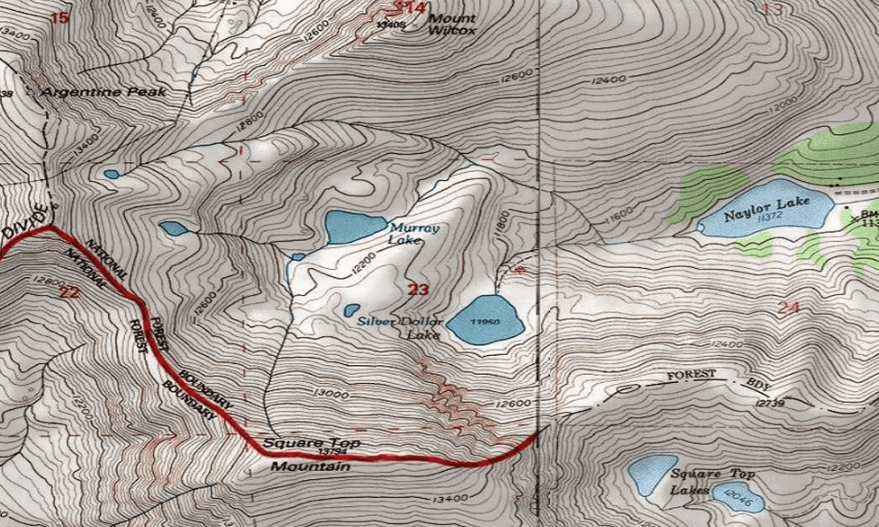
Contour Mapping
Unearthing the landscape.
We deliver meticulous contour maps, revealing the true topography of your project area.Our precise contour maps provide a clear picture of your project site's elevation and terrain.
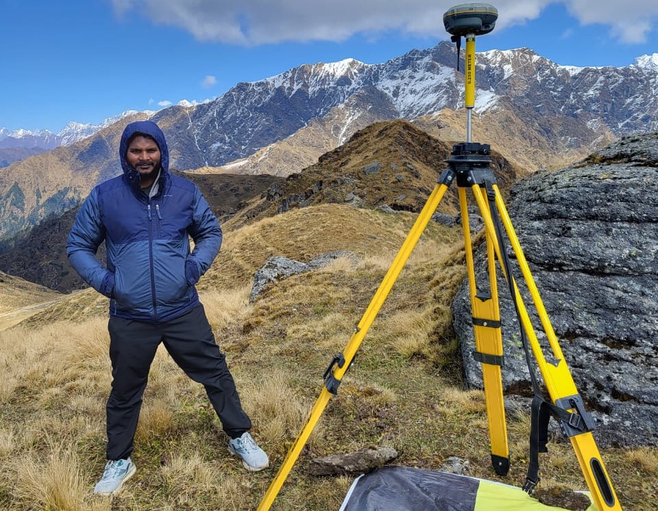
Field Survey
Our experienced field survey team delivers accurate and actionable data. We customize our field surveys to meet your specific needs and objectives
Geotagging
Using geotagged data to understand customer demographics and behavior based on location. This can help with targeted marketing campaigns and improved resource allocation.

"In the future, understanding our world spatially will be as fundamental as literacy is today. Geospatial technology will be the key to unlocking a sustainable future."

Maddu Kunal Rao
Geospatial World 50 Rising Star, 2023 Awardee.
ABOUT US
Industry leaders deliver industry-specific solutions.
“Our team not only boasts top geospatial talent, but also understands the nuances of your field, ensuring tailored insights. With our team of geospatial pioneers, you’re guaranteed the most precise data and actionable insights to fuel your project.”

QUESTIONS?
Whether you’re curious about features, a geospatial equipment, or even maps, we’re here to answer any questions.


